Navigate the Unknown
When digital signals fade and batteries die, your map remains. Explore with confidence using cartography designed for those who venture beyond the ordinary.
Discover Your Map
When digital signals fade and batteries die, your map remains. Explore with confidence using cartography designed for those who venture beyond the ordinary.
Discover Your Map
Three hours into a backcountry trek, Sarah reached for her phone to check her location. The screen showed no bars. No GPS lock. Just a useless rectangle of glass and metal.
But she wasn't worried. Folded in her jacket pocket was something far more reliable: a detailed topographic map that didn't need batteries, satellites, or cell towers.
Modern navigation relies on fragile systems. Satellites can be blocked by canyon walls. Batteries drain in cold weather. Apps require data connections that vanish in remote areas.
Yet wilderness emergencies don't wait for your phone to charge.

Our cartographers spend months in the field, walking the trails they map. Every contour line represents real elevation data. Every trail marker has been verified on the ground.
This isn't automated satellite imagery processed by algorithms. These are human-verified maps created by people who actually explore these landscapes.
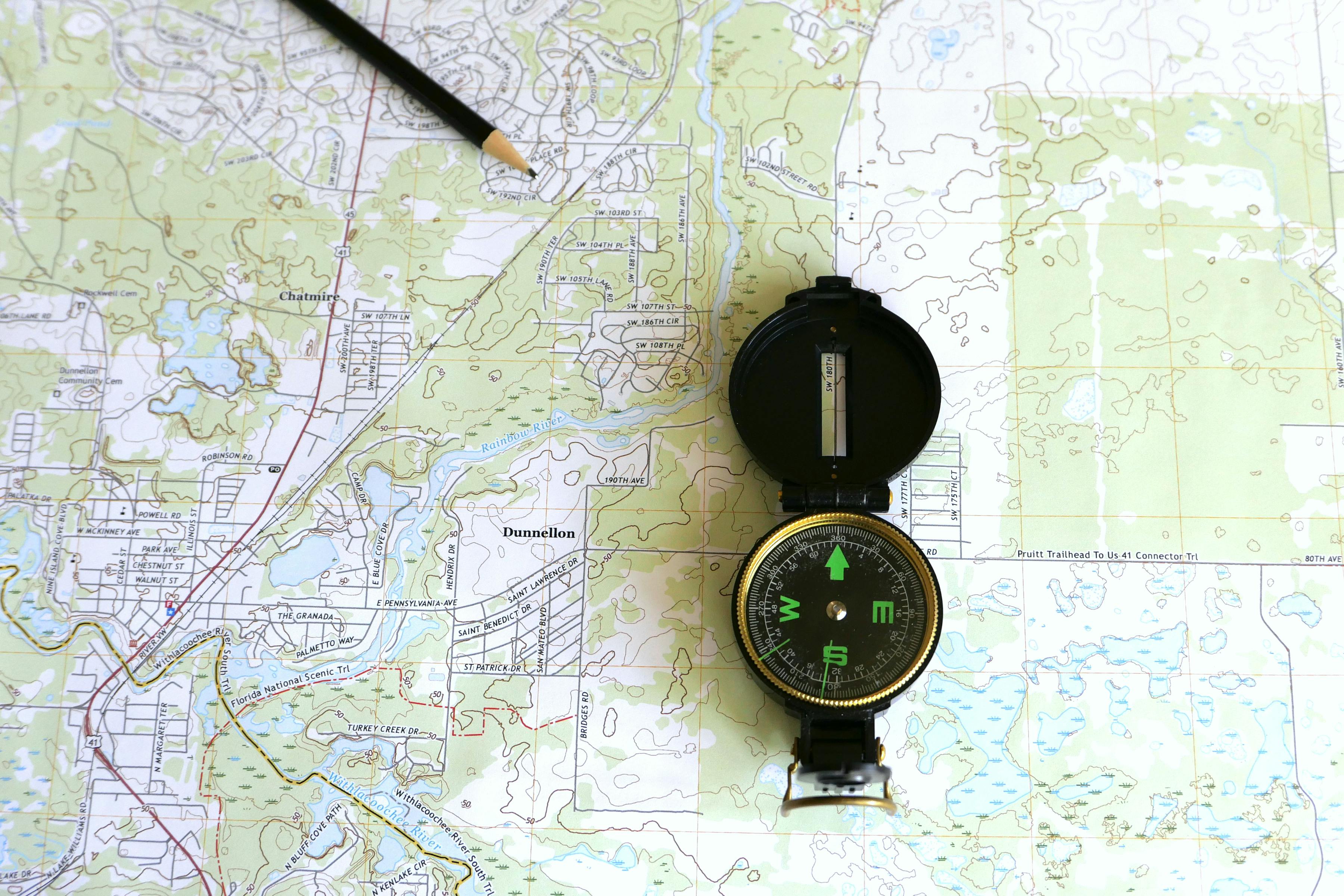
Waterproof topographic maps covering major mountain ranges with detailed elevation profiles and hazard markers.
AUD 127.50
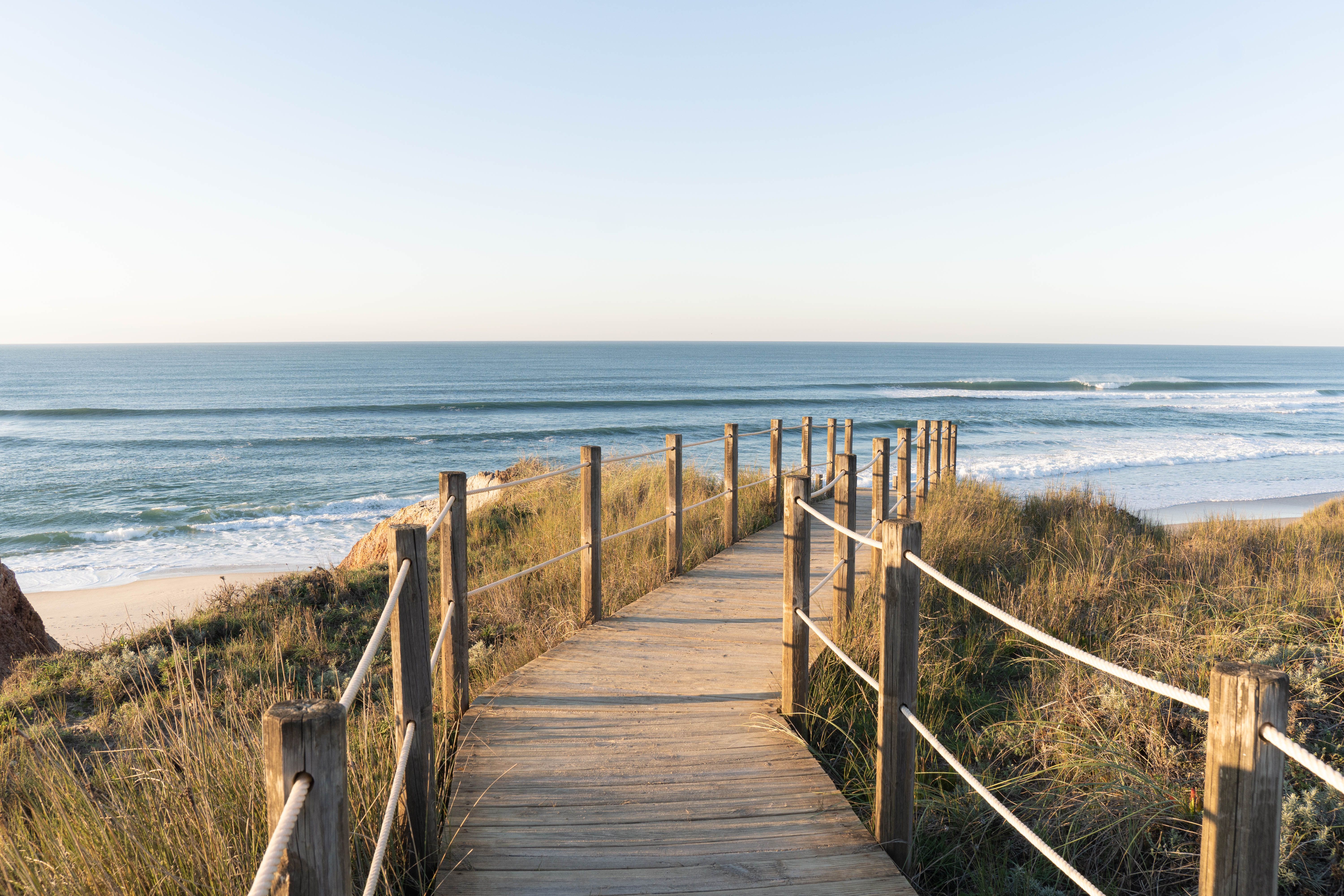
Tide-resistant maps featuring coastal trails, beach access points, and marine navigation coordinates.
AUD 94.80
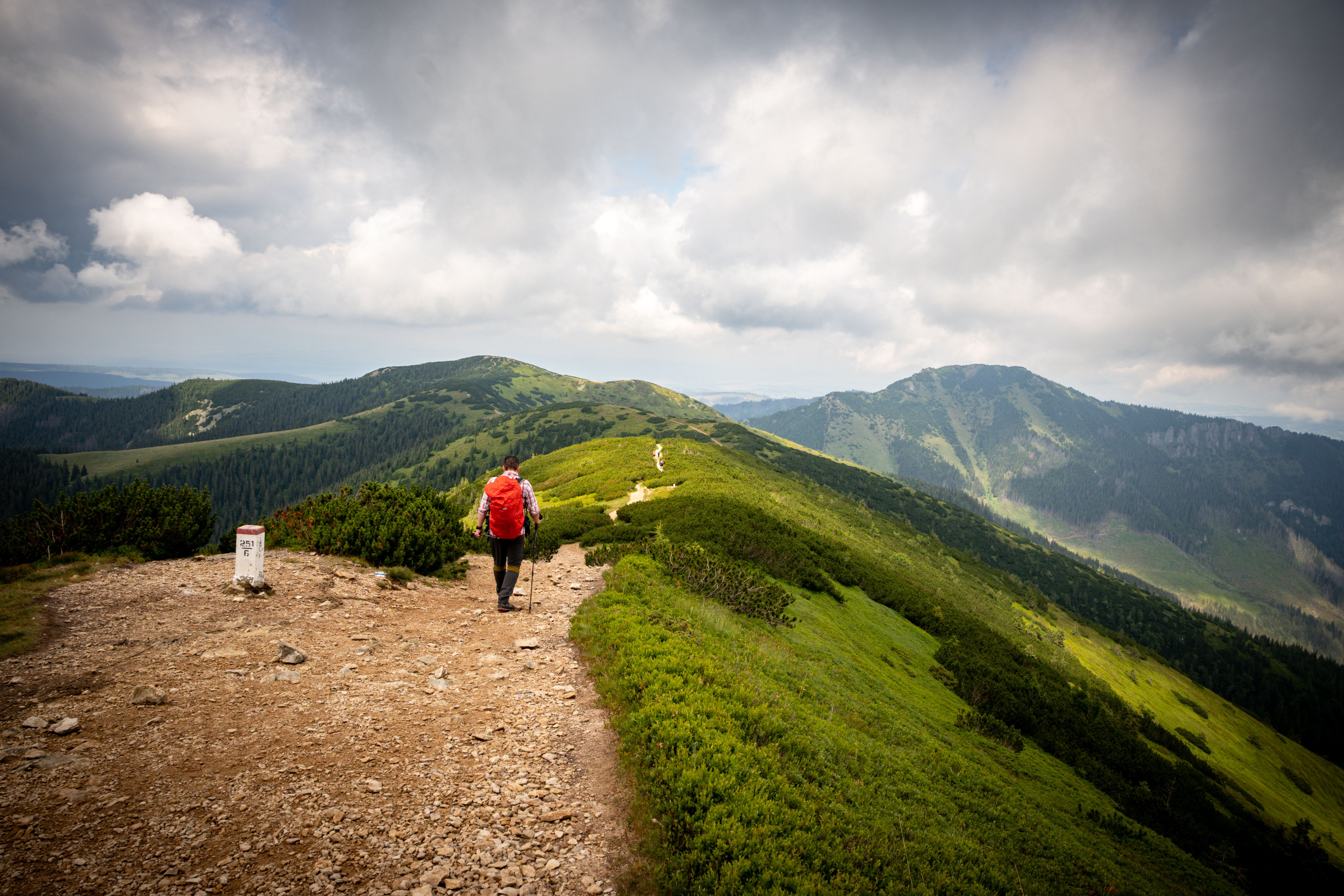
Comprehensive backcountry maps with water source locations, shelter spots, and emergency exit routes.
AUD 156.25
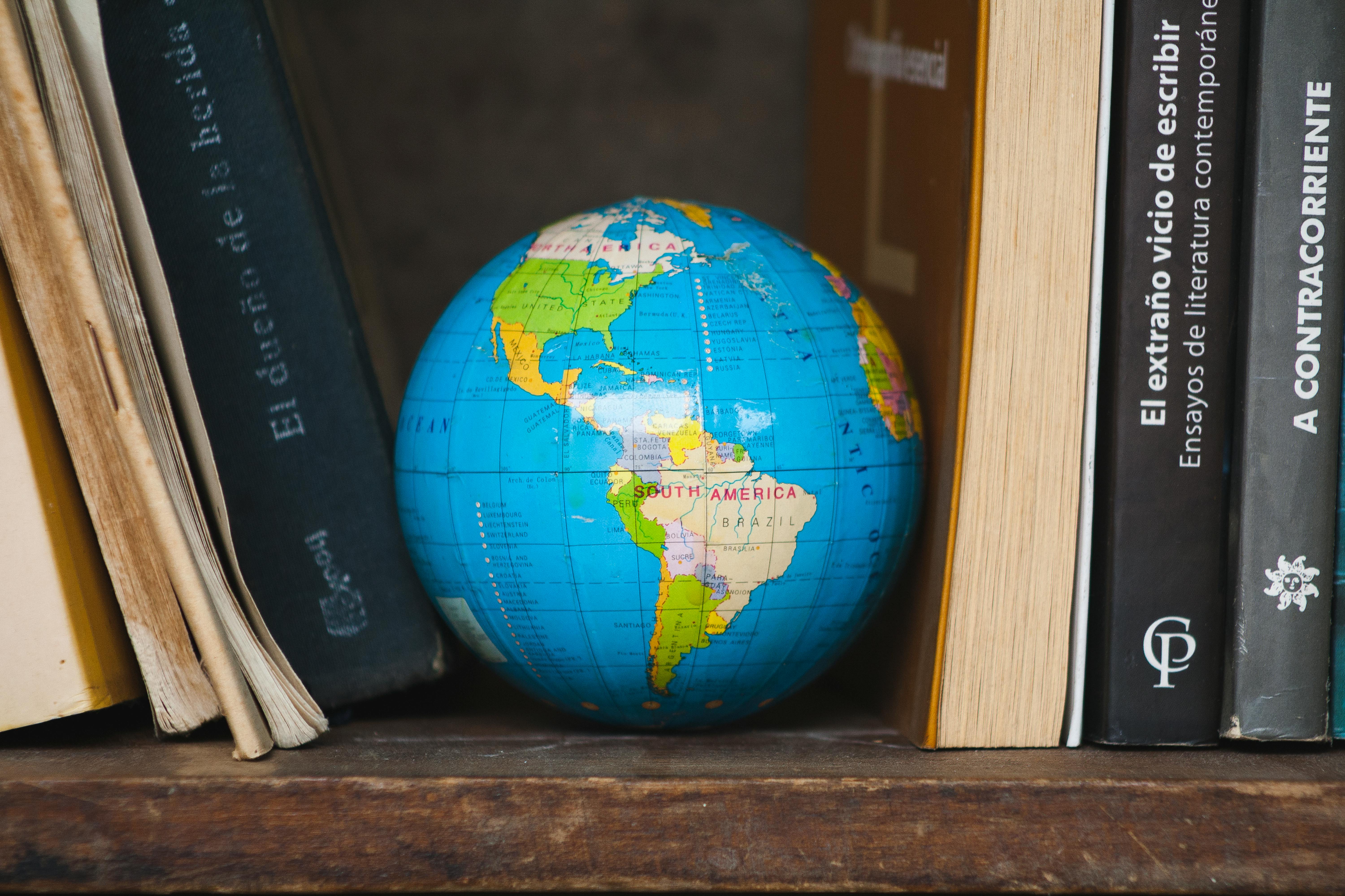
City exploration guides highlighting hidden trails, scenic viewpoints, and off-grid urban routes.
AUD 67.90
"I've used digital maps for years, but when I got caught in a sudden storm in the Grampians, my Polar-plateau map got me back to safety. It doesn't matter how wet it gets or how cold your hands are – you can still read it."
— Marcus Chen, Melbourne"The detail is incredible. I found a seasonal creek marked on their map that doesn't appear on any digital service. That water source made the difference on a hot day in the Outback."
— Olivia Patterson, Brisbane
Select your preferred map set above, then complete your order details below.
These maps are designed as navigation aids for recreational outdoor activities. Users should possess appropriate navigation skills and carry backup navigation tools. Map accuracy depends on terrain changes and natural events beyond our control. Always inform someone of your travel plans and expected return time before venturing into remote areas. We are not liable for navigation decisions made using these materials.